
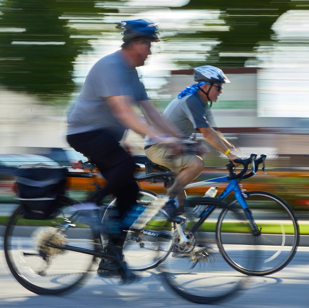
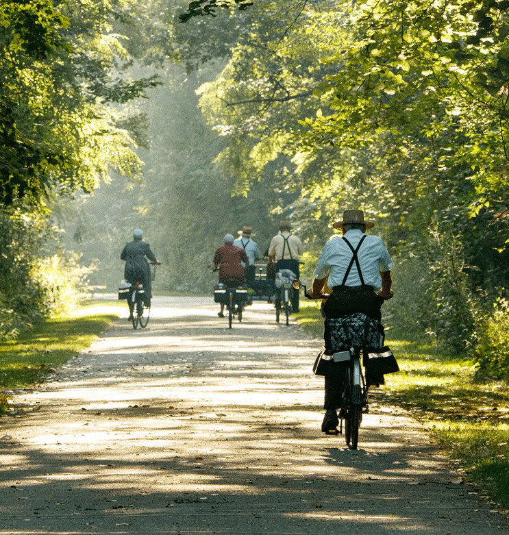
 Q: What is “nonmotorized” transportation?
A: All of the modes of transportation pictured above are nonmotorized.
Q: What is this project for?
A: To identify possible routes for a trail that can be used safely for nonmotorized modes of transportation. The purpose of this project is to figure out a way to make transportation safer and more convenient for people who walk, bike, or travel by horse and buggy between the communities of Nappanee and Wakarusa.
Q: Why is this project happening?
A: County roads are generally designed with cars and trucks in mind – not walkers, bikers, or buggy users. Safety on the roads is a concern for everyone who uses them, and residents want alternatives to accommodate nonmotorized modes of transportation. Recent Comprehensive Plans and local surveys highlight Wakarusa and Nappanee communities’ strong desire to provide safe transportation options for people using all modes of transportation. This planning project is the next step to follow through on that vision.
Q: What do you want from me?
A: We want you to be engaged in the process! For this project to succeed, we need your support. We need people from all points of view to share your knowledge, ask questions, and come up with creative solutions to our shared challenge of developing a safe and convenient trail. Spread the word to get your friends and family involved, too! This is a community-driven effort.
Q: How soon are we going to get a trail?
A: Any construction will be phased over several years. How soon a trail gets built depends on a lot of different factors, but will be most greatly affected by the route or routes that are chosen for construction.
 Q: How will a trail be funded?
A: Funding can come from many sources including private and public grants, as well as individual donors. An average cost per mile is approximately $1 million. The cost of planning, designing, and building a trail can vary greatly depending on physical conditions of the route selected and construction methods of the trail itself. A trail between Wakarusa and Nappanee will be at least 6 miles on its most direct route.
Q: Are you going to take my land?
A: No one will be forced to give up land for a new trail. We are coming to the community, including property owners, to figure out the best way to provide a nonmotorized path. We are excited to collaborate with property owners who may be open to selling or donating land, which could include tax benefits.
Q: Who will maintain the trail?
A: We need your input to help us figure out what maintenance plan works best for our community! Part of this project includes identifying who will own and maintain the trail, making sure there are sufficient resources committed to the project to ensure it is well taken care of into the future. Maintenance and liability of a trail could be the responsibility of a Board of local advocates (similar to the Friends of the Pumpkinvine Nature Trail) or a public entity, like the County Parks or Highways Departments.